Whether bats, pangolins or other animals played a role, what is clear is that the devastating Covid-19 pandemic started with transmission from animals to humans, probably at a market for wild animals in China. Through an awful chain of poaching, smuggling and illegal trade worth $20 billion a year according to the WWF, these markets are directly connected to the frontline of wildlife protection, where brave – but often poorly equipped – rangers have fought for decades to keep animals and plants safe from harm.
The fight against increasingly advanced poaching techniques sometimes feels hopeless but there is a very bright light at the end of the tunnel. Supported by tech giants like Cisco, FLIR and Google, smart, ultra-modern technologies are now being piloted and deployed in protected areas all over Africa and the results so far range from promising to staggering.
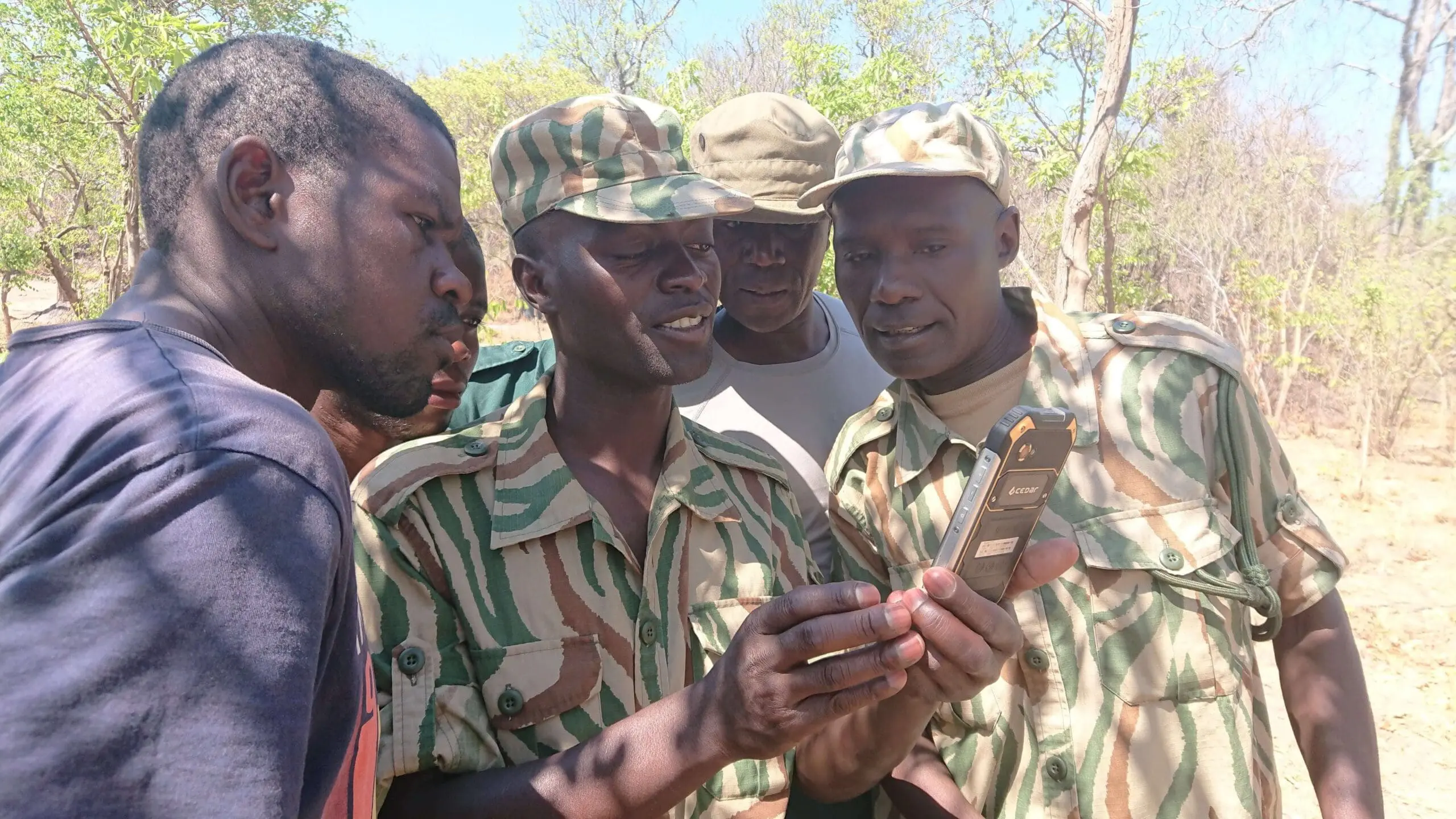
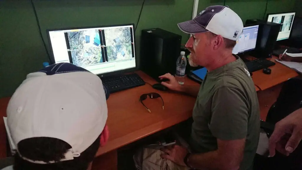
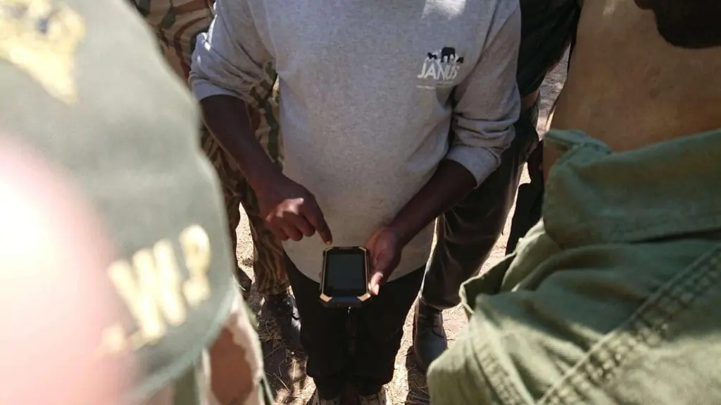
Although conservation bodies increasingly enlist technology to try to get ahead of the game, ‘rangers don’t have to be tech experts,’ says WWF conservation engineer Eric Becker. Radar, camera traps, thermal imaging and sensors – some acoustic, others metal-sensitive or tuned for motion – are being deployed to detect poaching incidents and to collect data. ‘The biggest thing with leveraging the Internet of Things is that everything from the sensors goes into the server at the control room.’ The internet connection then sends alerts to rangers or managers and certain things – like data analysis or maintenance – can be done remotely.
Tech alone isn’t the solution, all the experts agree, but when combined with traditional counter-poaching approaches, deep local insights, remote maintenance capabilities, well-trained and equipped teams in the field and machine learning, it can be a force multiplier that makes all the difference.
When data is analysed quickly and accurately, it means that rangers and protected area managers can predict trends, better use their scarce resources and prevent incidents of wildlife crime or human-wildlife conflict. Systems can also learn, for example, to filter sounds to detect gunshots or chainsaws, to filter images to detect people or wildlife or to analyse digital posts that enable the illegal wildlife trade. They can also monitor collared wildlife, limiting the impact of human-wildlife conflict.
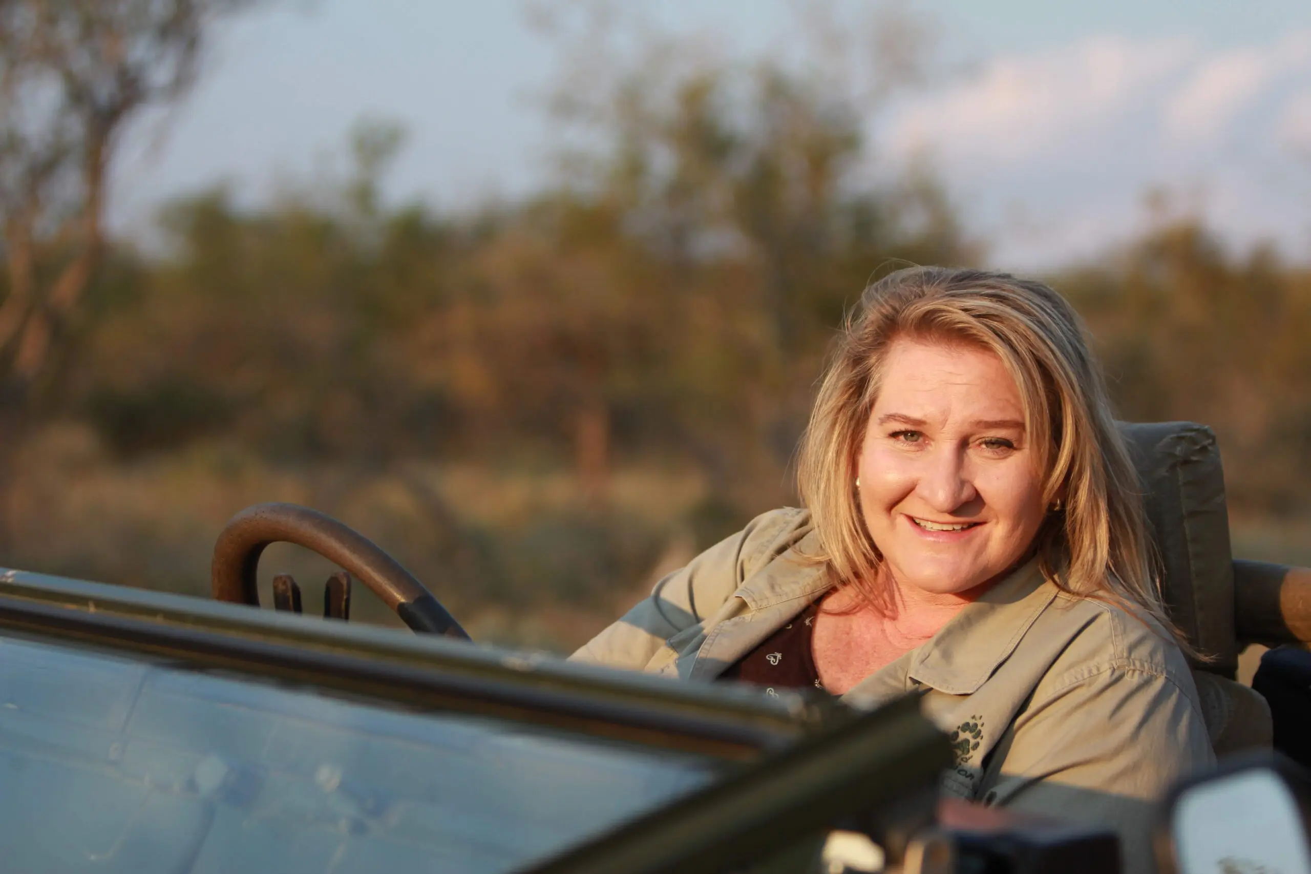
‘By using sensors to connect everything to the internet, a cell phone becomes a tool to get information or take action. There is huge potential in this space in the next 10 years where real-time data is collected, centralised and analysed by artificial intelligence,’ says WWF’s Colby Loucks, vice-president for wildlife conservation at WWF. ‘We haven’t even thought of all the applications, which is one of the most exciting things about this work. Plus, the technology is developing all the time.’
South Africa
A combination of dogs and tracking technology means poachers have nowhere to hide in the Greater Kruger National Park.
The dogs are a flash of muscle and movement as they explode from the bakkie’s tailgate, quickly picking up the scent of the suspect. Their coordination is seamless as they move into formation, following traces humans can’t detect through thick bush and at speeds of up to 40km/h. Southern African Wildlife College dog master Johan van Straaten watches in real time, as the data from the dogs’ GPS collars shows him where the hounds are and how they’re moving.
This is a simulated exercise but demonstrates the kind of training that tests the success of combining old and new technology in the field. ‘With dogs specifically, you need the right genetics, the right training and, most importantly, the right mindset and technical support to bring it all together,’ says South African Wildlife College CEO, Theresa Sowry.
The college is an applied learning institute that’s also doing valuable work testing rhino tagging and monitoring technology and aerial support techniques to better train protected area rangers and managers. They’re also taught to use technology and data more effectively.
The dogs’ GPS collars and a light sports aircraft positioned above the dogs, feed information back to Van Straaten and the rangers, taking note of the terrain and the dogs’ trajectory. Remarkably, the dogs (a cross between English foxhounds and American blueticks) ignore everything else they encounter, from scrub hares to lions.
While using dogs to combat wildlife crime is not new, being able to follow them in this way makes the most of the dogs’ innate abilities. Rangers can leapfrog to where the poachers are operating and not only save valuable hours, but give security forces insights into poaching behaviour, as details from all incidents are logged.
‘Using data, whether it’s gathered from a plane or a SMART device, is about being able to collect, analyse and rapidly interpret it to make the best decisions,’ says the college’s deputy head of applied learning, Dr Cleo Graf. She is involved in rolling out another tech project at the college – EarthRanger software that aggregates and analyses data from multiple sources used by area managers.
Given the role the dogs play in poaching-related arrests, South African National Parks spokesperson, Isaac Phaahla, has called them ‘the most significant technology currently in the anti-poaching campaign’ – a claim supported by the college’s counter-poaching statistics. These show that when responding to incursions without any K9 asset, the apprehension rate is low, about three to five percent. Working with a K9 unit – including on lead and free tracking dogs – and their support teams, it increases to 60 percent. This means that rangers are 10 times more successful in apprehending poachers when they work with GPS-collared dogs and aerial support than when they work without them. ‘It’s a high-risk job for humans and dogs,’ Van Straaten says, ‘but with the support of technology, training and standard operating procedures, we try to minimise the risk.’
Zambia

Thermal cameras create a virtual fence that can be monitored 24/7 to help secure a vulnerable boundary of Kafue National Park.
On Lake Itezhi Tezhi in Zambia’s Kafue National Park, boats fitted with LEDs rigged to catch fish at night bob like light boxes on the water. Meanwhile, poachers use the darkness to cross the lake unseen. They’re armed and dangerous. No life is sacred in their quest for bushmeat, ivory, pangolins…
‘Darkness has never been our friend,’ says Charles Mbao, who works for Zambia’s Department of National Parks and Wildlife (DNPW), heading up the park’s special anti-poaching unit. And when they are intercepted, poachers don’t hesitate to shoot.
‘The stakes are higher than ever before,’ says Sport Beattie, whose non-profit organisation, Game Rangers International, supports Zambia’s DNPW and the men and women working in Kafue. The conditions on the lake have made it hard for a relatively small ranger force to patrol the lake safely or effectively at night. The 3 000 to 4 000 elephants in southern Kafue that regularly come down to drink on Itezhi Tezhi’s western shores are easy targets for poachers, who move back and forth across the water with legitimate fishermen, hiding their weapons under fishing nets and slipping away in the dark.
That’s changed though, with the installation of one of the most high-tech conservation projects in Africa: a network of thermal cameras that are part of a ground-breaking collaboration with the WWF, thermal imaging giant FLIR and leading IT and networking company Cisco.
‘The [forward-looking infrared] cameras effectively double our operational footprint,’ says Beattie, who believes that the technology, coupled with a special anti-poaching capability, means the rangers can do twice as much with the same number of men and women, while keeping the cost of conservation down. They act as force multipliers, covering areas that rangers can’t reach, or can’t reach often enough.
The cameras work on line-of-sight, capturing images based on the relative heat emitted by subjects in their range, which extends from Musa, where the control room is, to the northernmost tip of the lake. Three identical towers have been positioned on islands in the lake to maintain connectivity with the tower at Musa. Directional antennas transmit information back to the control room, working the way any cell phone tower works.
The result is a virtual fence to help secure the lakeside section of the park’s eastern boundary, a task that previously fell to just 25 rangers. The cameras mean that rangers in the control room, which is kitted out with large screens and an air conditioner, can ‘see’ incursions in real time, as the cameras provide 24/7 coverage of this vulnerable boundary. They also record every crossing, allowing rangers to detect patterns of movement and flag anything suspicious.
Itezhi Tezhi is an ideal location for this high-tech approach. It is a place of sustenance for people and wildlife, but also a site of struggle as communities outside of the park vie for increasing access to its fish reserves. ‘These crimes are done by a few. They benefit a few. The animals belong to all of us,’ says Mbao.
The park authorities hope that in time the villagers will see the benefits of the technology, both in countering poaching, but also detecting fishermen who get into trouble on the lake. ‘We are here not to stop fishing but to help it be more sustainable, so that it benefits everyone and not just a handful,’ says Beattie.
Kenya
Mobile infrared cameras help rangers see in the dark.
In Kenya, a patrol vehicle smashes over the landscape with bone-jarring force as rangers carry out a night operation to intercept suspected poachers in the Serengeti. Once close enough, the team puts a drone equipped with a thermal camera in the air, ‘so we could see the hot bodies trying to run away,’ says FLIR’s former senior vice-president for global product strategy, Jeff Frank, who joined the rangers to test the use of some of FLIR’s technology in anti-poaching.
‘Before we got our technology to them, these rangers were literally working in the dark in these massive expanses trying to thwart these criminals,’ he says.
On this occasion, four of the seven suspected poachers escaped. ‘The reason why the drone was not successful was that I was flying [the drone], and I learnt very quickly that it requires not just knowledge about the technology, but also the insight and domain knowledge of the environment. It’s those two things coming together that brings such benefit to the work the rangers are doing in the field,’ said Frank.
In the Maasai Mara, they had better success almost immediately with vehicle-mounted thermal cameras. And incursions along a high-risk border area of Lake Nakuru National Park, a key black rhino sanctuary, have dropped to zero since thermal cameras were installed along a vulnerable park boundary using a system similar to the thermal array in Kafue.
These early successes have resulted in the Kifaru Rising Project (‘kifaru’ means rhino in Kiswahili). This is an ongoing effort led by the WWF, thermal imaging company FLIR and Kenya Wildlife Service. The thermal night vision technology and training for Kenya’s wildlife rangers aims to completely eradicate rhino poaching by 2021. According to the WWF, the project – to which FLIR has committed $3 million in equipment between 2019 and 2021 – serves 11 sites that are home to more than 80 percent of the country’s approximately 750 remaining eastern black rhinos.
‘The immediate impact of just our basic, handheld thermal imaging technology completely changed the game for the rangers on the ground. But seeing the impact of those donations, it made it fairly obvious to me that this was scalable with the WWF to a point where we could set a mission like ending rhino poaching in Kenya,’ says Frank.